
Walk an Appleton Street by Address
A sound street-by-street search begins with the parcel, not a claim about who lives there. Outagamie County's Ascent system connects an address with an owner, parcel number, legal description, values, tax details, and the mailing address used for notices. Appleton and county GIS then place that parcel beside address points, street centerlines, city limits, and nearby parcels. A deed may show a transfer between named parties. Historical directories can add an occupant or business for a particular year. These sources serve different roles.
Keep the address exactly as received before changing its format. That protects against a false match. Then use this Appleton street directory sequence:
- Search Ascent with the street number and plain street name. Use one search category at a time, then open the red parcel-number result.
- Copy the parcel ID, legal description, owner, situs address, mailing address, and tax year. Do not treat the mailing field as proof of residence.
- Open City or County GIS. Click the parcel and compare its polygon, address point, street centerline, city boundary, and adjacent lots.
- Use the owner and legal description in LandShark to find recorded deeds. Search grantor and grantee roles when following a transfer.
- For an earlier household, inspect the library's street sections and digitized directories. Ask for permits when a building date matters.
This process can identify record owners and dated evidence. It cannot certify every present occupant. For a search focused on a single name instead of a whole street, move to the Appleton resident lookup workflow.
Search Appleton Streets in Ascent
The official Outagamie County Ascent search accepts a parcel number, a street number with street name, or an owner's first and last name. Do not combine those categories. For a street query, the county directs users to omit the direction and suffix. Enter “Seneca,” for example, instead of a fully styled road name. Parcel-number searches omit spaces and dashes. Select the red parcel number to reach the card.
The result may include the owner, property or situs address, mailing address, legal description, parcel number, assessed and fair-market values, tax distributions, credits, special assessments, and tax history. That makes Ascent the best first official index for a current by-address search, but the owner field is not a household roster.
| Search choice | Input | Format note | Useful result |
|---|---|---|---|
| Street | Number and name | Omit direction and suffix | Matching parcels |
| Parcel | Parcel ID | No spaces or dashes | Exact tax card |
| Owner | First and last name | Use as its own category | Owner-linked parcels |
Map Appleton Street Records
After Ascent, the Appleton GIS gallery supplies the visual link between a street string and the land beneath it. The city publishes parcels, address points, street centerlines, city limits, zoning, historic inventory, floodplain, and neighborhood data. Outagamie County adds regional parcels, PLSS survey context, historic aerial photography, LiDAR, foreclosure, zoning, and floodplain layers. Pan along a street, click each relevant polygon, and keep the parcel ID with every note.
The county parcel service exposes an owner name as its display field and allows data queries, but limits a response to 2,000 records. City address points can connect a known address with a unit, parcel, and structure point. Neither map warrants title. It is a discovery tool that shows which record belongs to which place.
The live gallery view below helps explain why a mapped parcel and an address point are stronger than a loose text match.
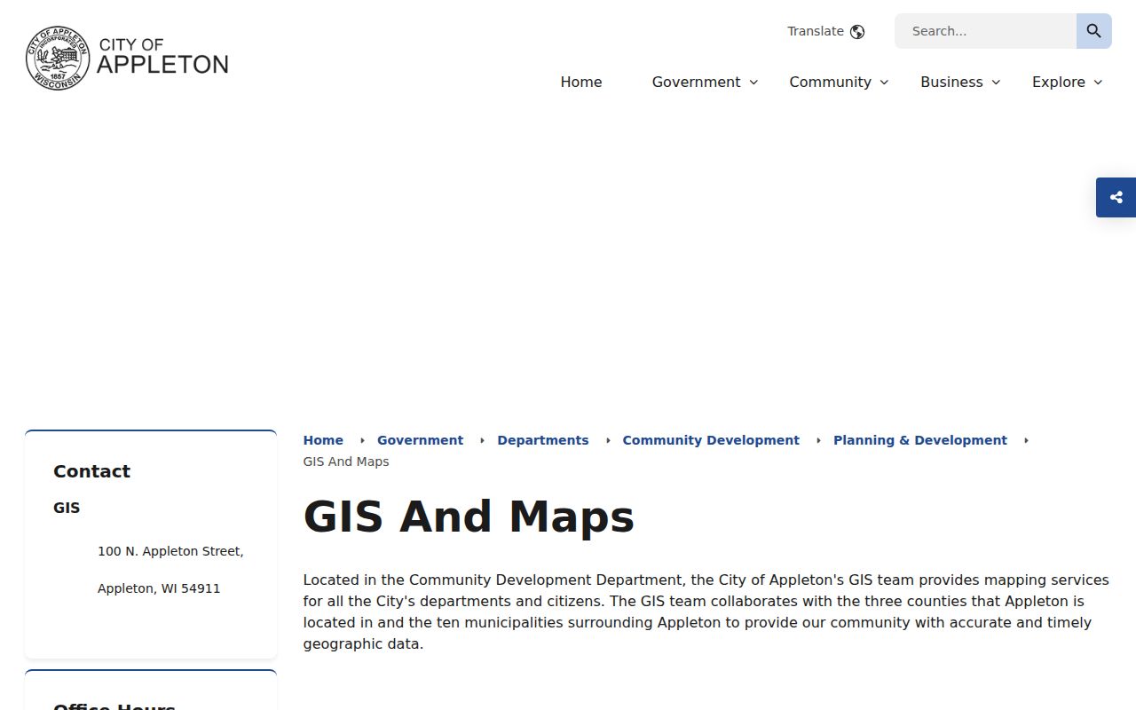
Use the parcel card or recorded deed to confirm what the selected map feature represents.
Appleton Street Directory Sources
Each address-keyed source has a separate custodian and limit. A street directory search is most reliable when it preserves those boundaries instead of blending all results into one resident claim.
| Record Set | Keeper | What It Shows | Access |
|---|---|---|---|
| Property and tax card | Outagamie Property Listing and Treasurer | Owner, parcel, situs and mailing address, legal description, values | Ascent, prior rolls, phone help |
| Parcel and address GIS | Appleton and Outagamie GIS | Parcel geometry, address points, boundaries and context layers | Public viewers, downloads and REST data |
| Deeds, mortgages and liens | Outagamie Register of Deeds | Parties, instrument, date, number and legal description | LandShark, counter and mail |
| Voter information | Wisconsin Elections Commission | Polling and election information tied to a supplied address | MyVote; not a bulk street roster |
| Permits and code records | City custodian | Public work, date, applicant or status fields when held | Targeted request; no verified public lookup |
The parcel number joins the tax card to the mapped polygon. The legal description joins that parcel to deeds and plats. Street spelling then connects the same place with directories and a request for city permit records. If a web portal fails, call Property Listing at 920-832-5665, use the Register of Deeds counter or mail route, or submit a focused City of Appleton records request.
Read Appleton Address Terms
Four terms prevent common errors in an Appleton by-address search. Define them before copying names from a tax card or map.
- Parcel
- A mapped piece of land with its own tax identifier. It may hold more than one address point.
- Situs address
- The physical location assigned to the property, distinct from the owner's mailing address.
- Plat
- A recorded map that identifies lots, blocks, streets, and subdivision references.
- Criss-cross directory
- A printed directory arranged by street or address so a reader can work from place to listed occupant.
A legal description may use lot, block, subdivision, or survey language. It usually carries a chain across a changed street style better than a current postal label.
Follow Appleton Deeds Along a Street
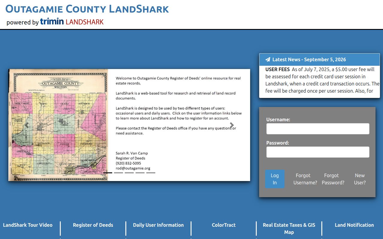
LandShark holds the online route into Outagamie County real-estate instruments. Start with the current owner and legal description from Ascent. Find the purchase instrument, then record the grantor, grantee, document number or volume and page, recording date, and legal description. To move back one sale, search the seller as an earlier grantee. Married names, trusts, and business entities may require variant searches.
The LandShark entry screen shows the account and transaction route used for online real-estate access.
Online coverage dates were not confirmed in the research. For earlier or unavailable material, visit the Register of Deeds, request copies by mail, or provide a document number or volume and page. The office prints copies while a counter requester waits, but staff do not conduct the title search. Copy fees are $2 for the first page and $1 for each added page, with separate plat or certification additions.
Separate Appleton Owner and Occupant
The tax roll's mailing address is where official tax notices go. The situs address marks the parcel's physical location. They may differ because an owner receives mail elsewhere, an entity or fiduciary holds title, or the address needs maintenance. A lottery or homestead-related credit can be a clue, but it still does not prove every occupant.
This distinction is one of the most important limits of searching by street. A parcel owner may not live at the property, and a resident may not appear as owner. MyVote's public address mode returns election and polling information for the address supplied, not a complete list of everyone in a home. Protected voters are excluded from broader file releases. Treat each record as dated evidence, then seek an independent match.
Read Old Appleton Street Sections
Appleton's first city directory dates to 1874. Digitized anchors include 1884–85, 1901, 1904, and a 1915 tri-county volume. The 1915 work covers Calumet, Outagamie, and Winnebago counties and includes a street directory plus civic, business, court, church, and society sections. The Appleton Public Library's Jabas Collection holds original directories, plat maps, Sanborn Fire Insurance Maps, and newspapers, although no complete reverse-directory year run was verified online.
Older entries can use “res.” for residence, “h.” for home, compass-side abbreviations, cross streets, or “same” to link work and home. OCR can misread both names and short address marks. Inspect the scan itself. When the goal is the collection rather than one street, the Appleton city directory page explains the historical shelf in depth.
Request Appleton Permit Records
No verified public Appleton permit or code lookup was found for the research capture. Do not invent an online search path. Send the city custodian a narrow request that states the address, parcel if known, type of work, and likely date range. A responsive record may identify construction or alteration dates and public applicant, contractor, or status fields. Availability depends on what the city holds and what may lawfully be released.
The same fallback applies when an address portal is incomplete: use phone help, a county counter, mail, library holdings, or a Wisconsin Public Records Law request under Wis. Stat. §§ 19.31–19.39. Ask for identifiable records, not for an office to answer a research question.
Limits of Appleton Street Records
No Appleton street directory can reliably reveal every person inside a home. Property files identify land and ownership interests. GIS maps places. Deeds document recorded instruments. A directory is a dated publication, and a voter lookup has a defined election purpose. These records do not supply utility customers, DMV addresses, delivery files, protected voter addresses, sealed court parties, or a guaranteed present physical location.
Old address continuity also has a gap. No confirmed Appleton renumbering or renaming year was located. Bridge an old entry to modern land with its legal description, plat, historic map, cross street, and nearby occupants. Never assume an 1884 number equals today's number.
Lawful use. Use Appleton address records for lawful personal research. Never use them to stalk, harass, threaten, or harm anyone.